Marine engineering surveys
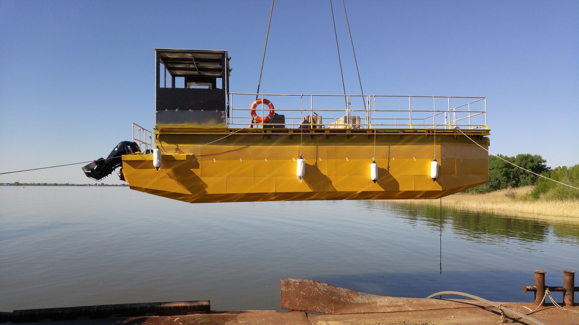
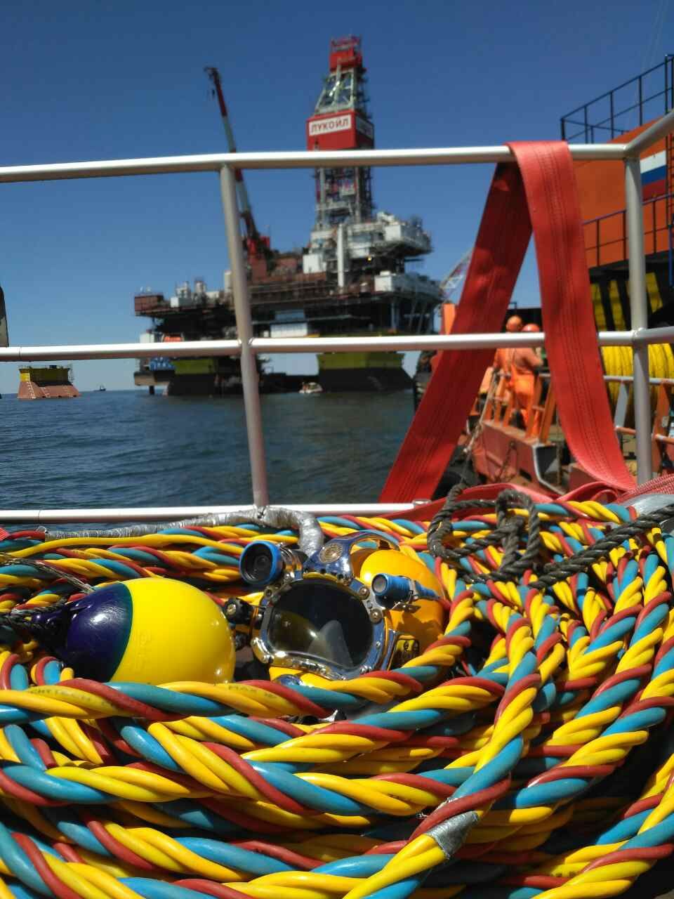
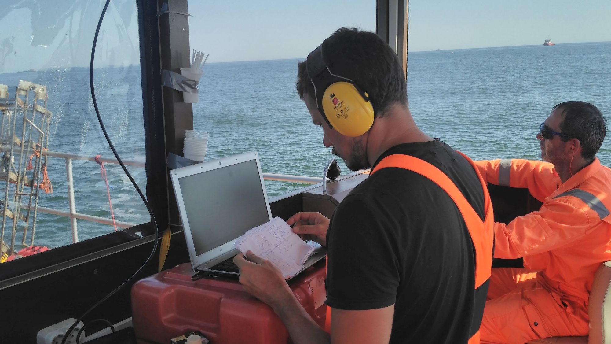
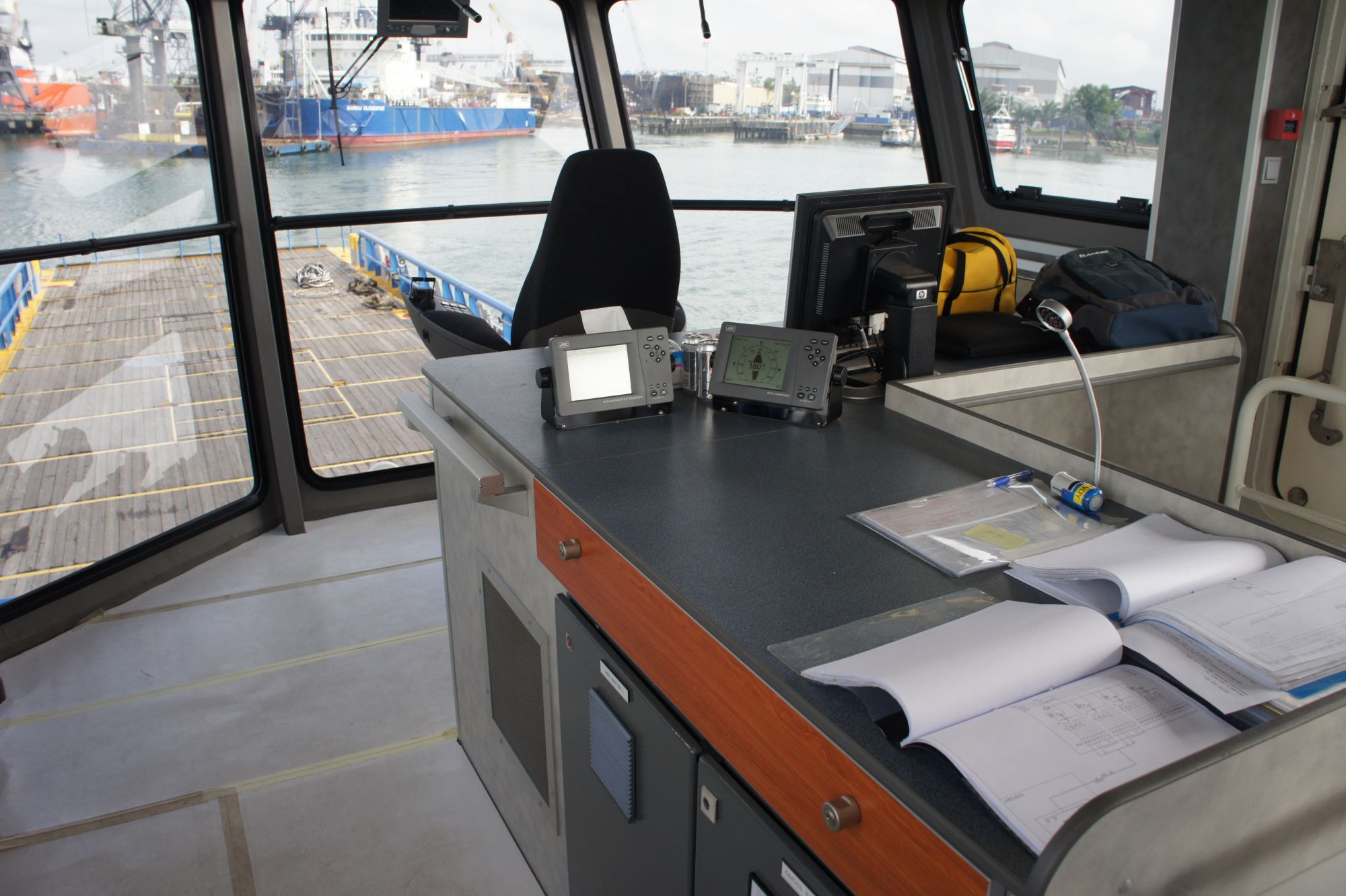
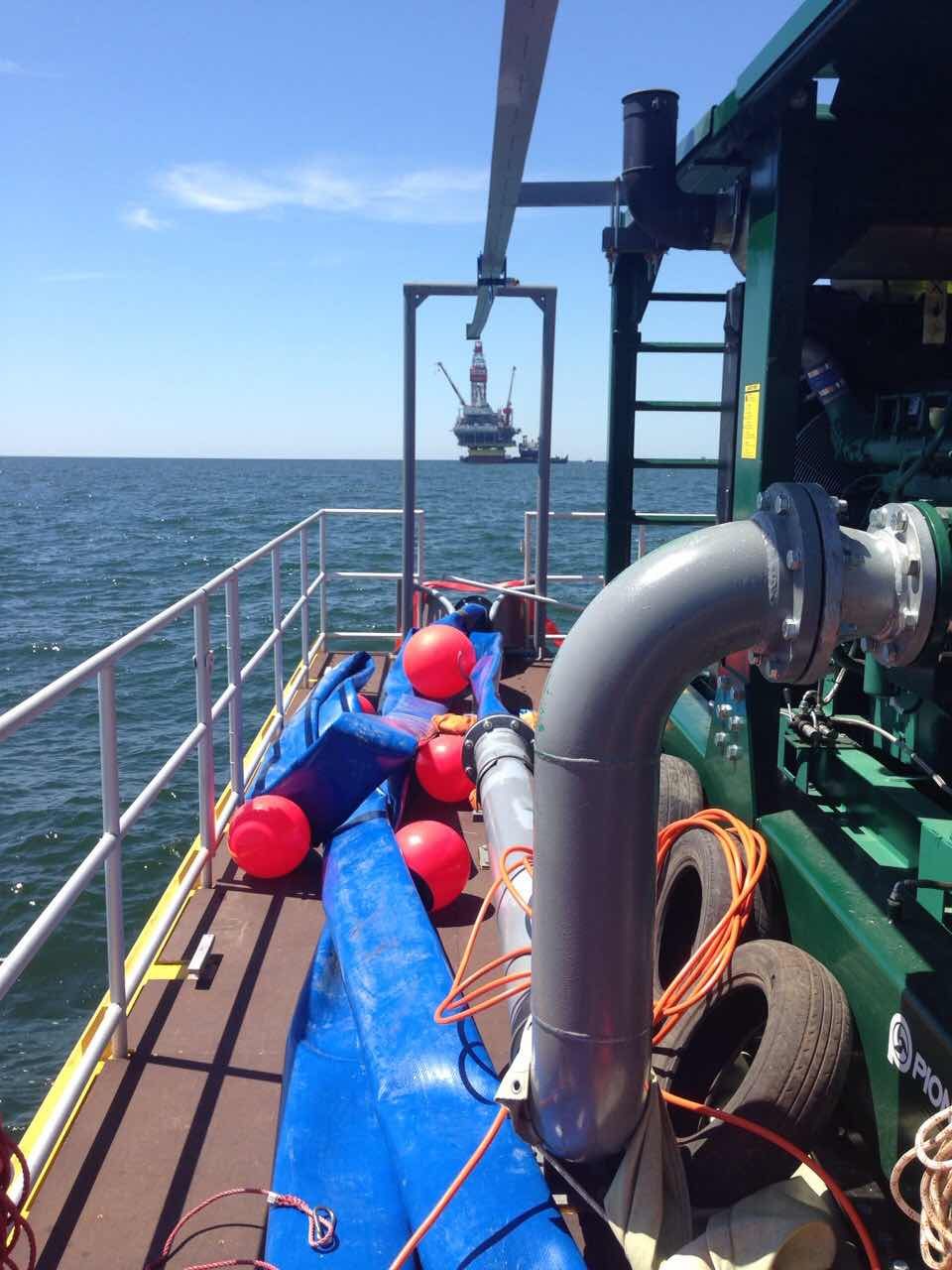
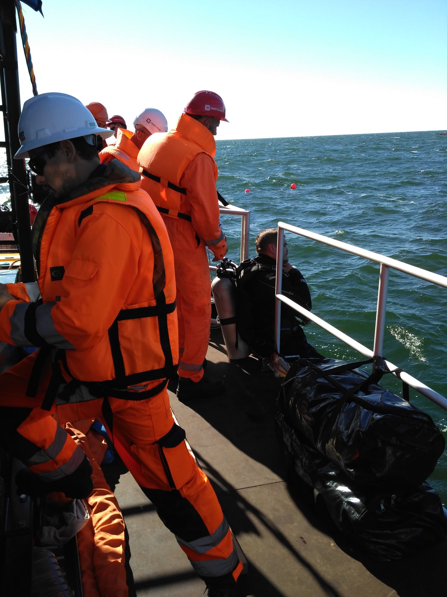
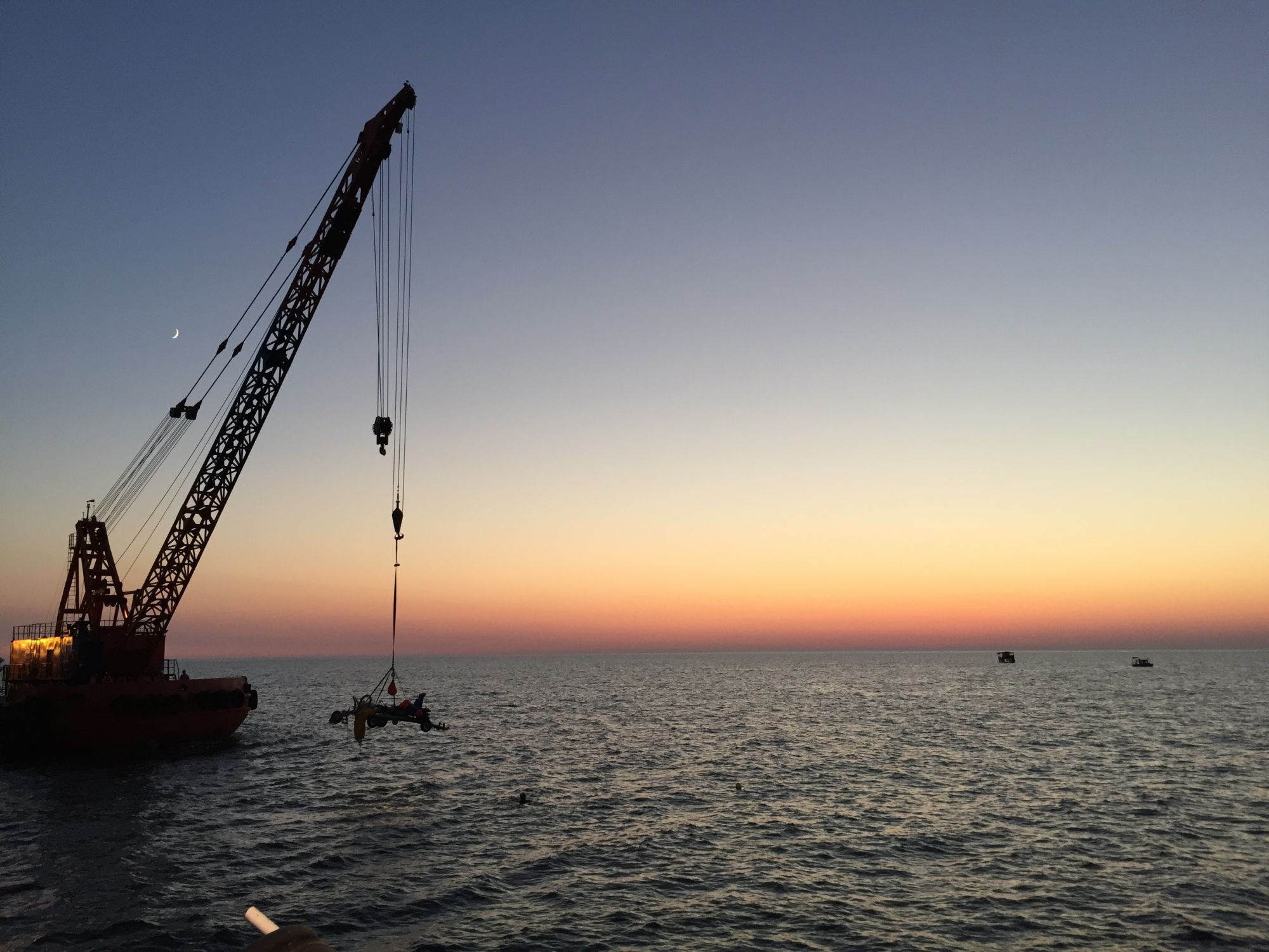
Under the executed complex EPIC projects or an individual service, Company renders a complex of services related to offshore engineering surveys, including engineering-hydrographic, geophysical, geotechnical surveys, as well as navigation-hydrographic support services, surveys using ROV and high accuracy positioning services. Recognizing the degree of influence of the above mentioned services complex results accuracy on the project as a whole, Company uses only modern effective technologies and highly qualified personnel allowing to elevate the quality of services to an unprecedented high level. Own spread of the Group is used to perform the field operations, particularly specialized survey vessel “SURVEYOR”, as well as other vessels of the specialized contractors.
In order to obtain accurate hydrographic and engineering-geological data for design and subsequent construction of areal and linear offshore facilities, Company offers execution of the full range of engineering-geological surveys as follows:
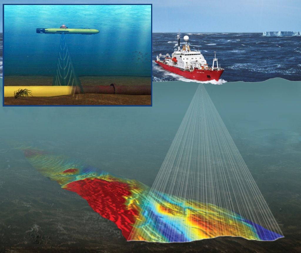
- areal bathymetric survey using multi-beam echo sounder;
- seabed sonar survey;
- magnetometer survey;
- seismoacoustic survey;
- various purpose sampling;
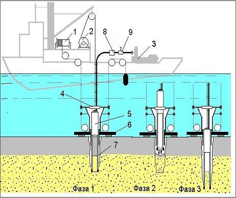
- drilling works using submersible units without well casing;
- static probing;
- field and laboratory studies;
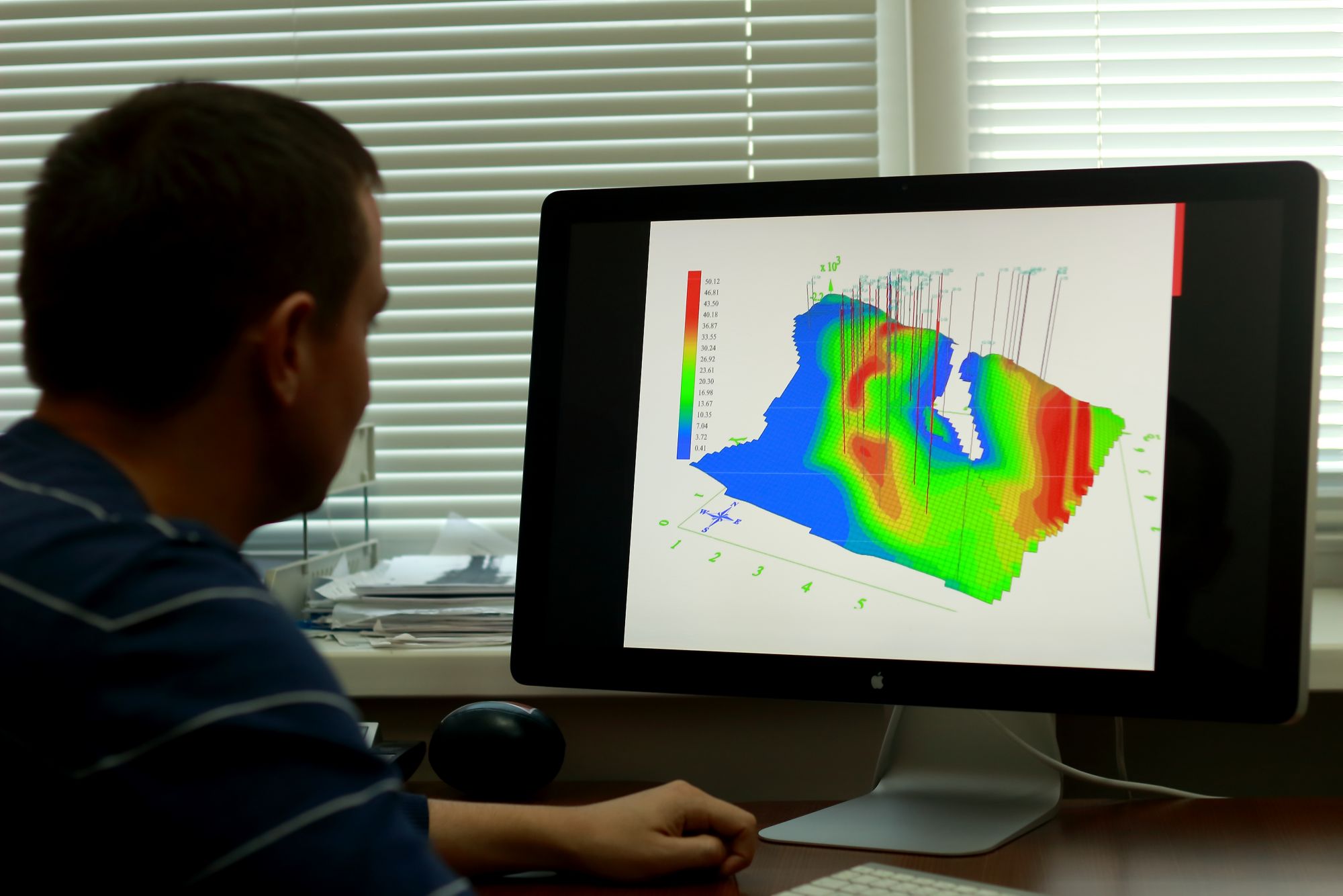
- office studies of engineering surveys data.
Company provides the following services under the complex of navigation and hydrographic support services, surveys and positioning:
- routes survey prior to installation of subsea pipelines / cable lines, post-lay survey of these facilities into the design position and monitoring during construction and operation of the same;
- sites survey prior to installation of offshore floating drilling and fixed platforms;
- offshore structures transportation routes survey;
- navigation support of offshore floating drilling units positioning on the drilling location;
- navigation support of offshore structures tow-out and in-situ positioning;
- navigation support of underwater technical works using hydroacoustic positioning systems;
- navigation and hydrographic support of pipe laying, cable laying vessels, under water pipe and cable trenchers;
- navigation and hydrographic support and monitoring of dredging works;
- high accuracy positioning of anchor handling tugs, towing tugs, crane vessels;
- various types of post construction surveys (as-built surveys), including determination of pipelines, cable lines and other facilities burial depth.
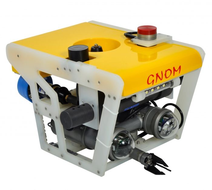
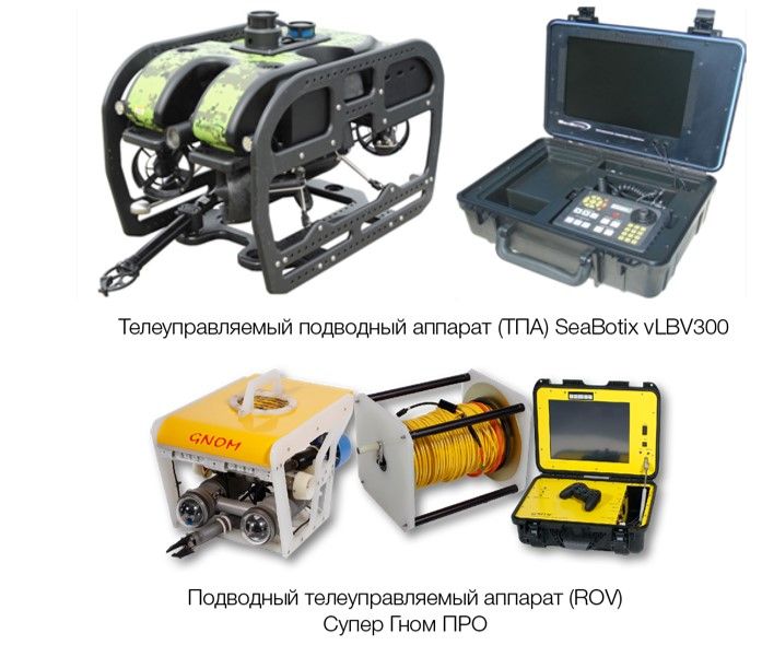
Subsea surveys by ROV, including the following types:
- site surveys prior to installation of offshore floating drilling and fixed platforms;
- wellhead survey of abandoned marine wells;
- offshore structures underwater part survey (visual survey and thickness measurement);
- subsea pipelines survey;
- subsea pipelines and offshore structures cathodic protection survey.

